Krish Pandya
Hi! I'm Krish, an undergraduate researcher at the
Robotics Research Center, IIIT Hyderabad, advised by
K. Madhava Krishna
and working with
Sourav Garg.
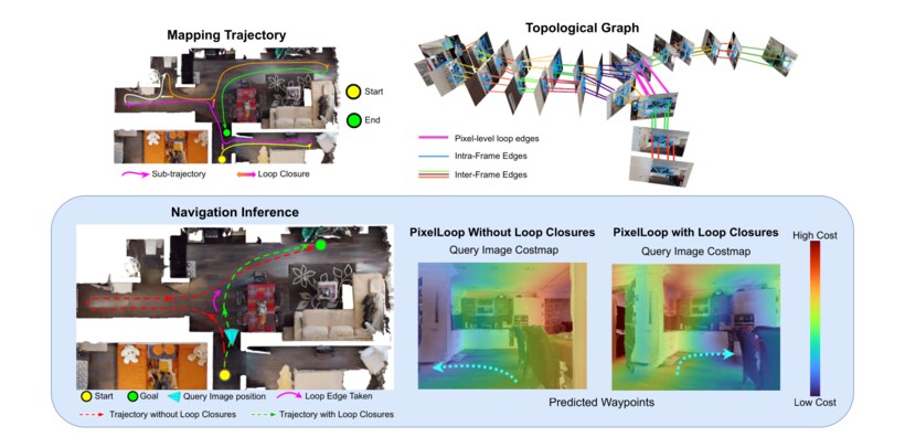
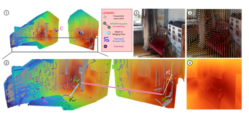
My research goal is to build lifelong representations for robots. By that I mean a representation that a robot can keep updating as it acts, and that we can understand. So far I have worked toward this through 3D reconstruction, SLAM, topological maps and interpretable representations.
I also spend a lot of time in open source. I am on the
Sugar Labs
board, write a fair amount of Rust, and build
reproducible setups with
Nix.
What I value most is curiosity. I like understanding how things work, especially when they are outside what I already know, and I enjoy learning from the way other people think and work.
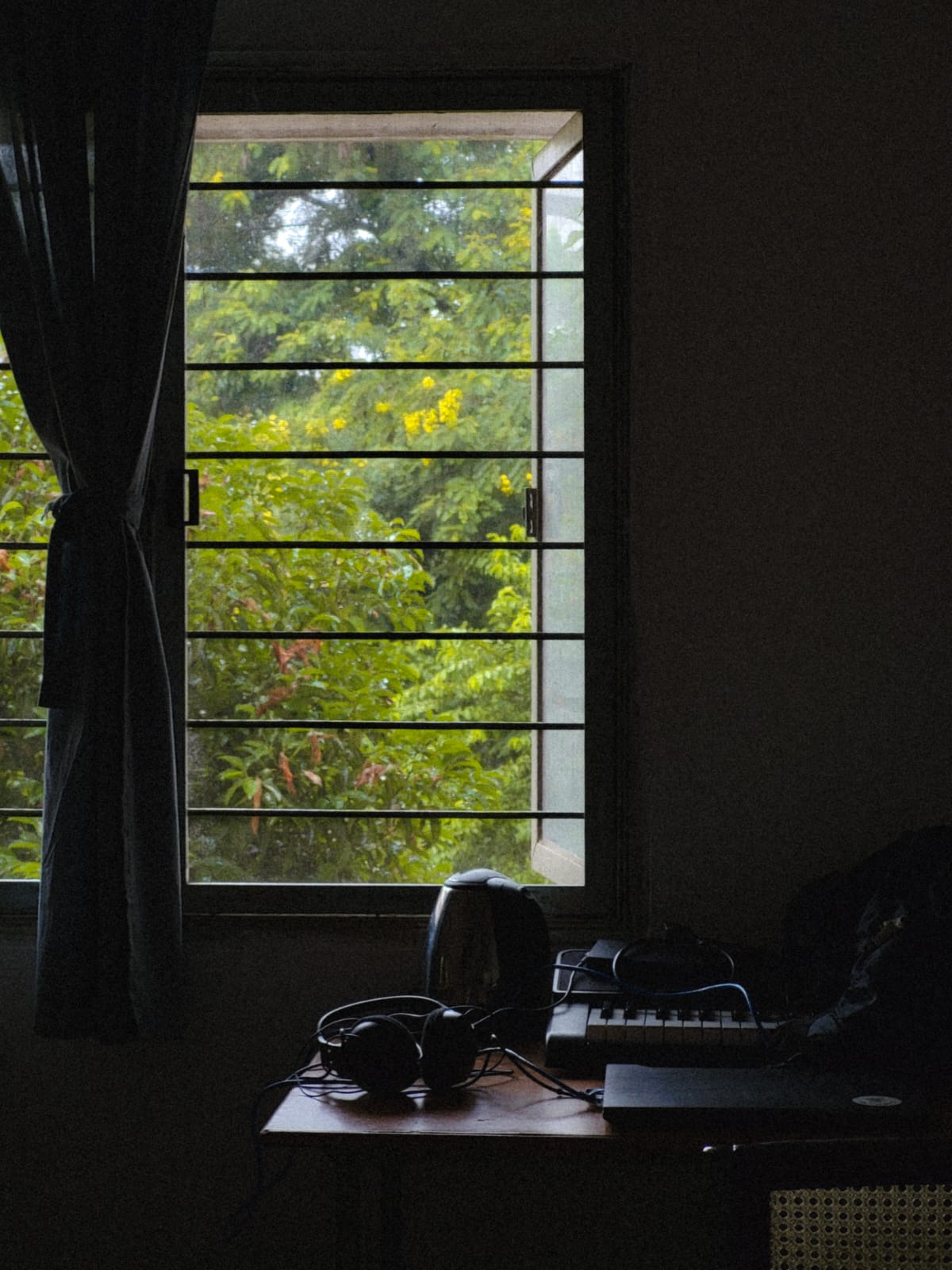
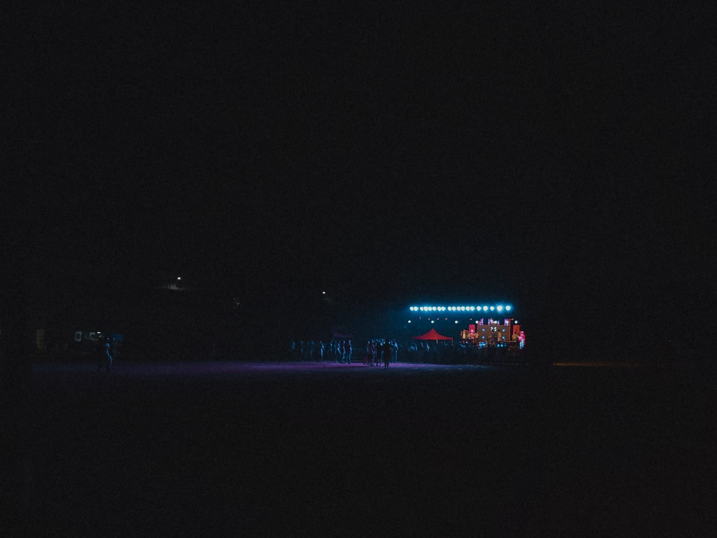
Outside research I make and analyze
music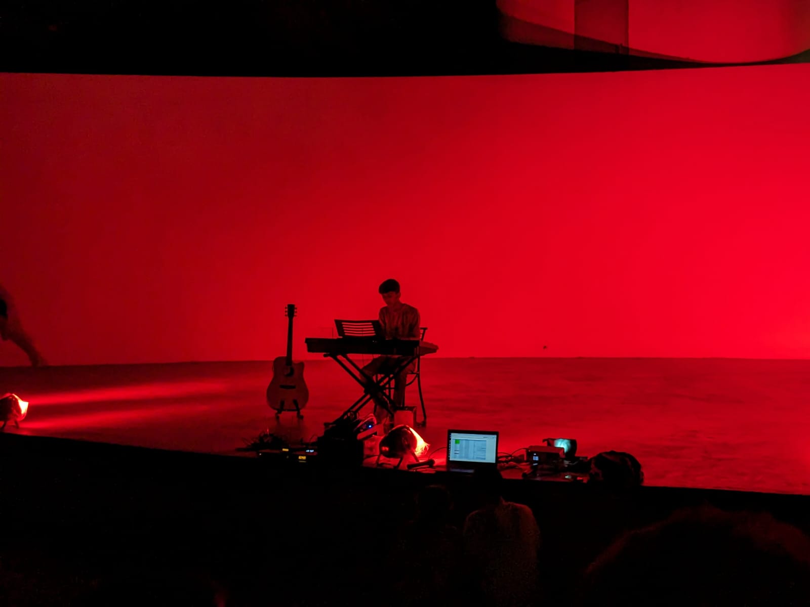
 , read
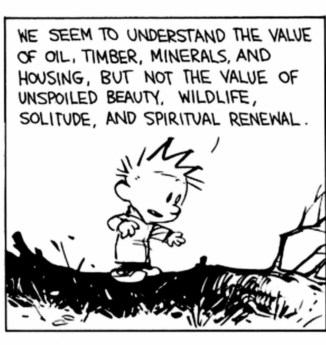
philosophy
, read
philosophy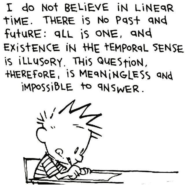
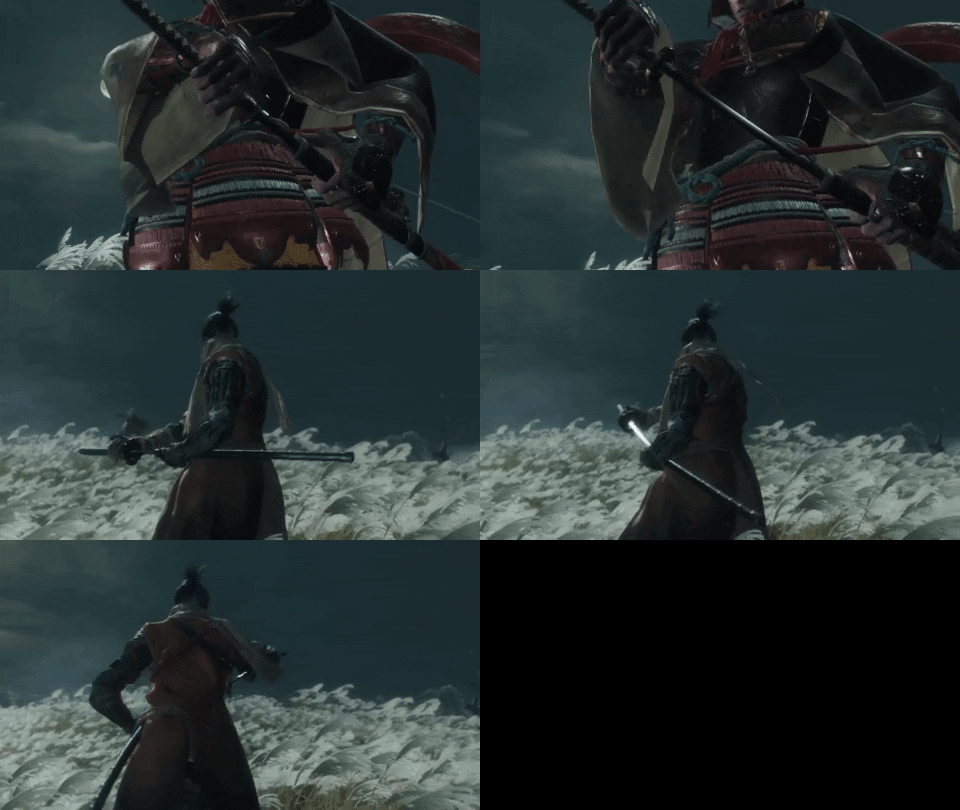
 , play sports and
video games
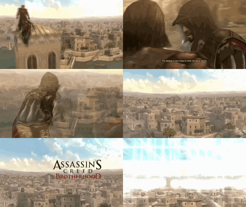
, play sports and
video games
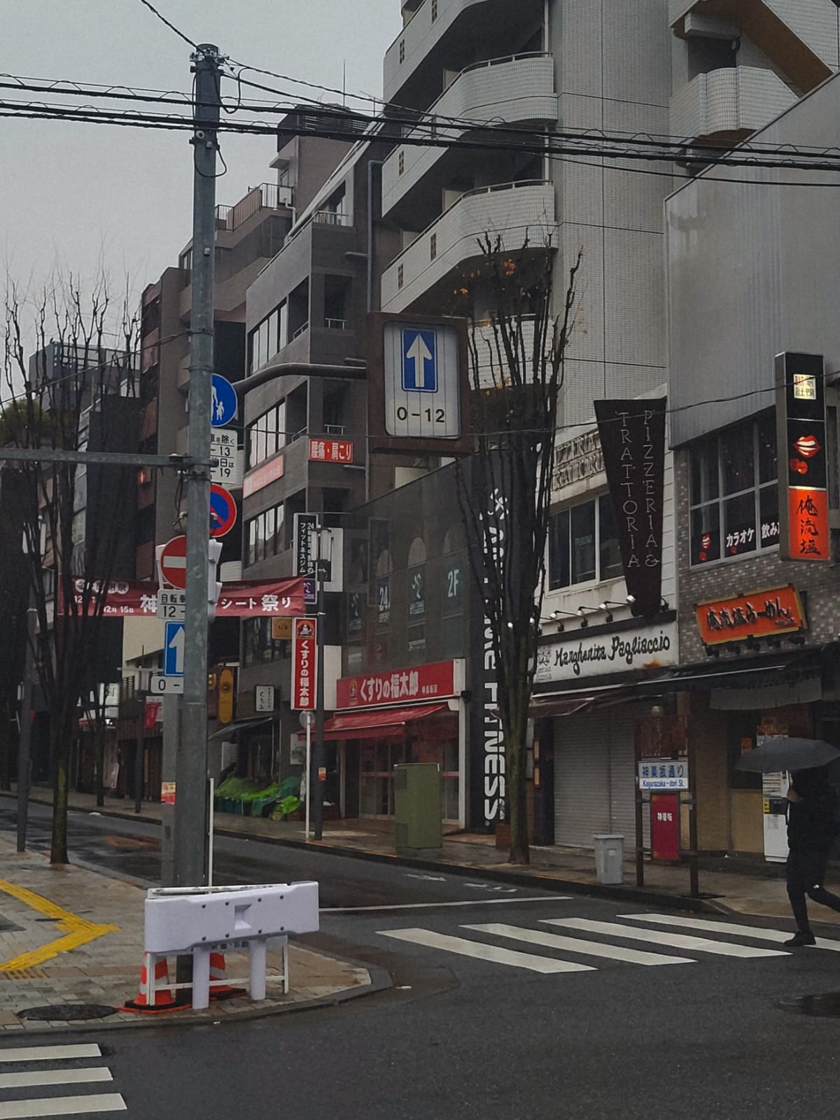
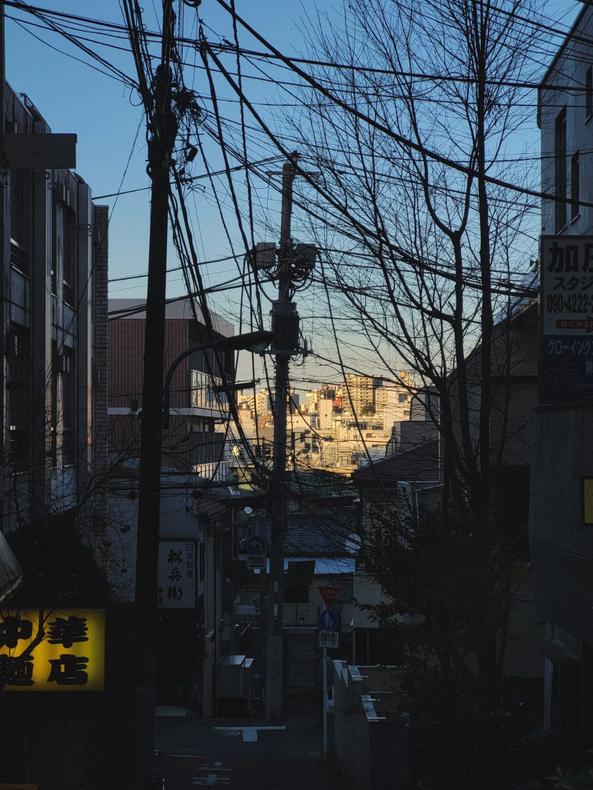
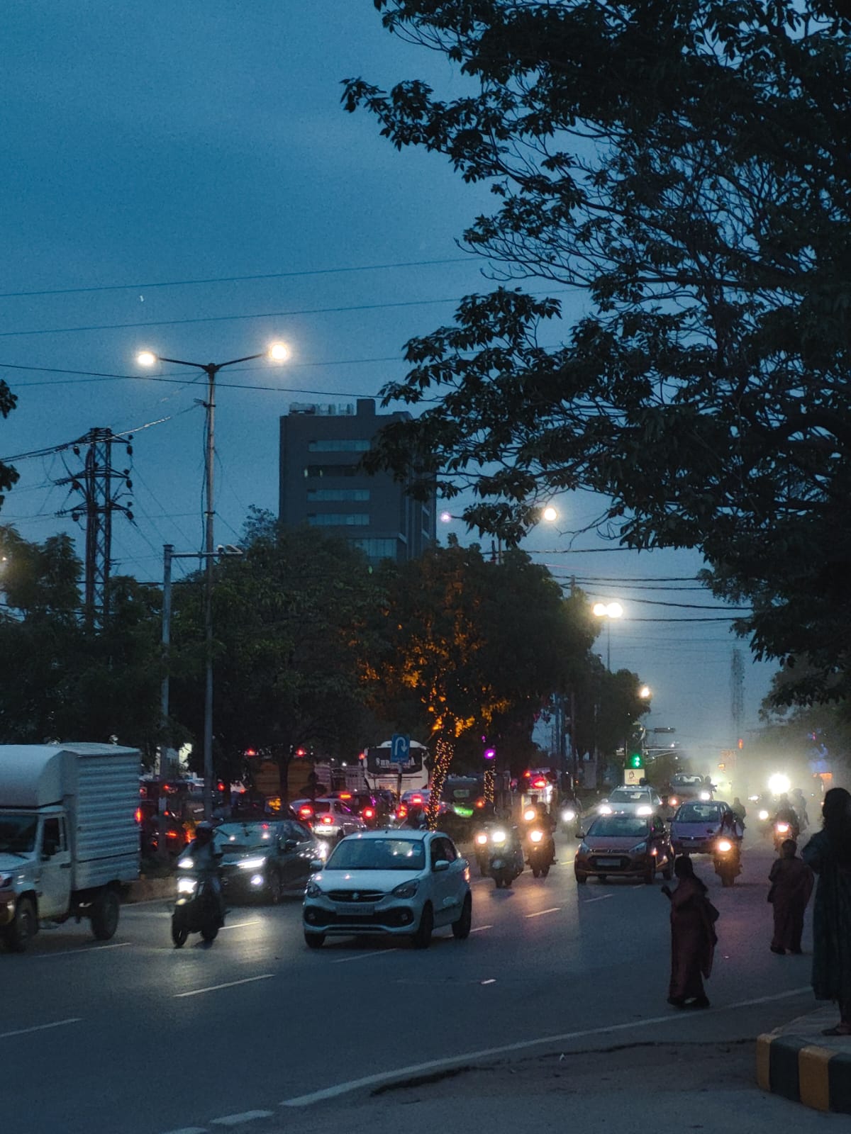
 , and watch a ton of stuff. I also take
pictures
, and watch a ton of stuff. I also take
pictures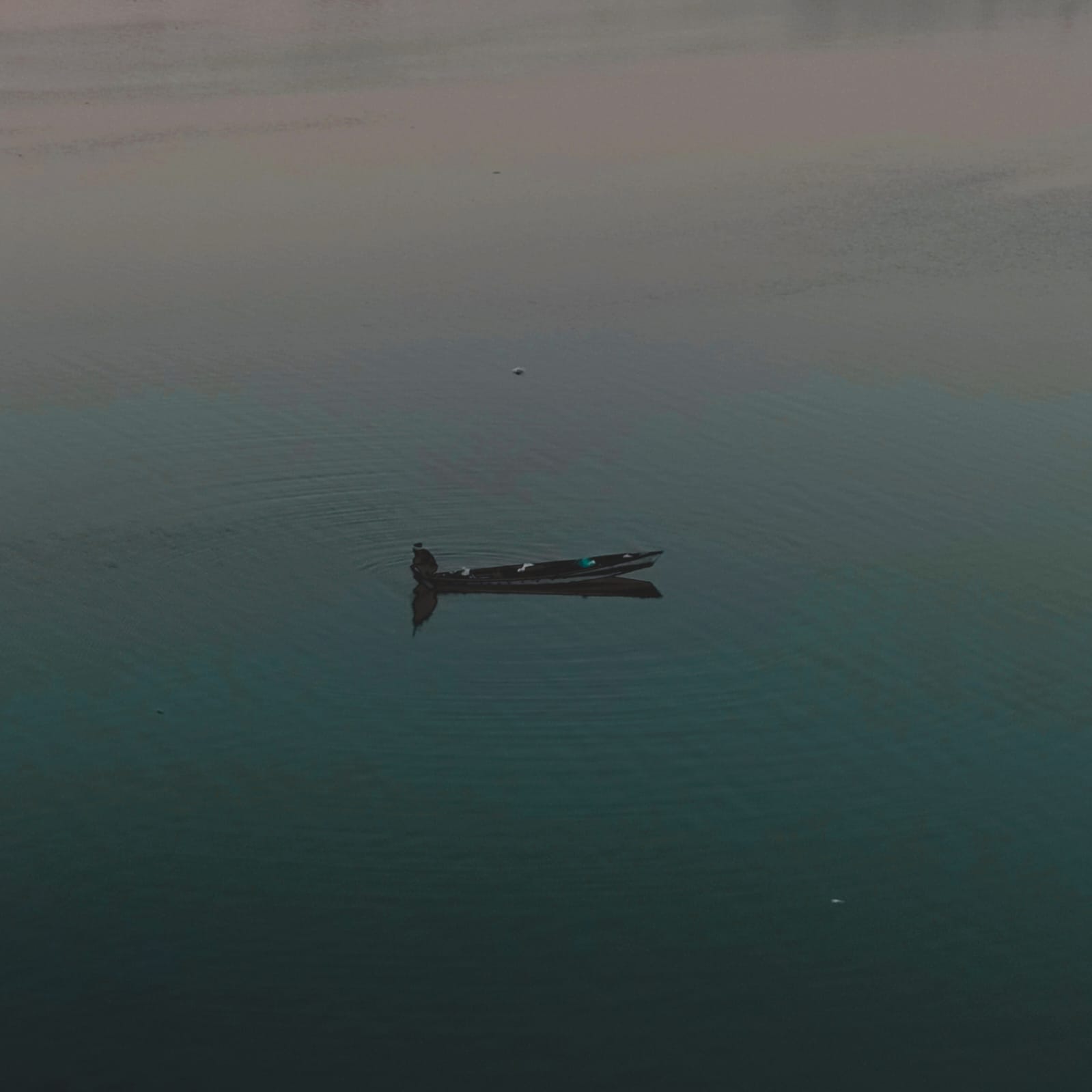

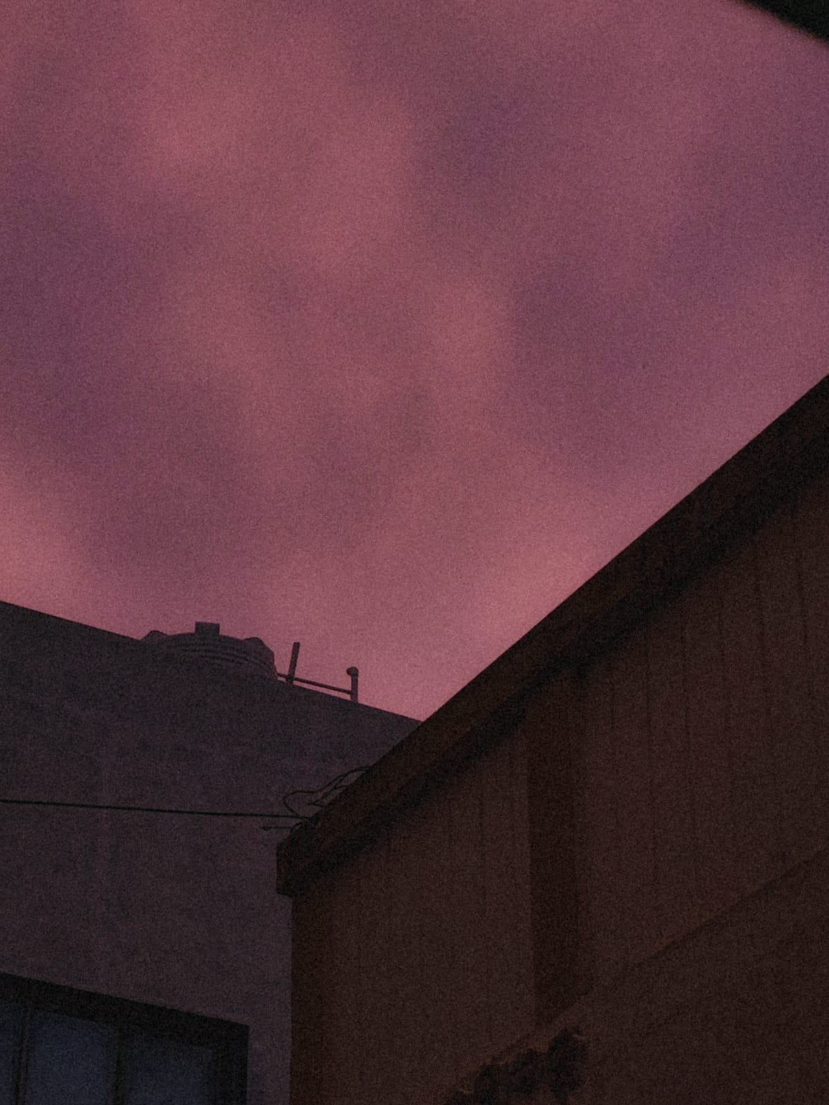
 , mostly of
places I like
, mostly of
places I like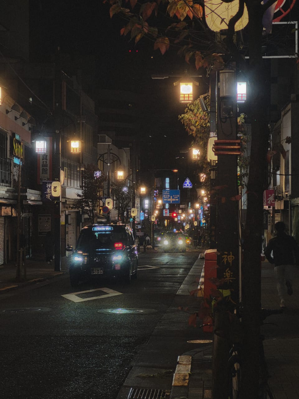

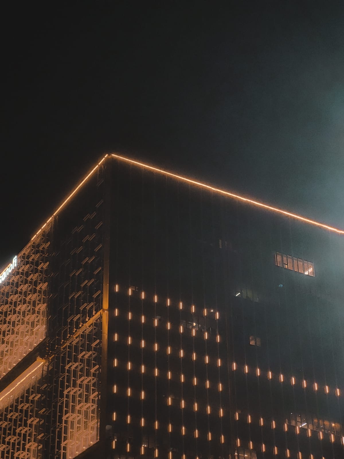
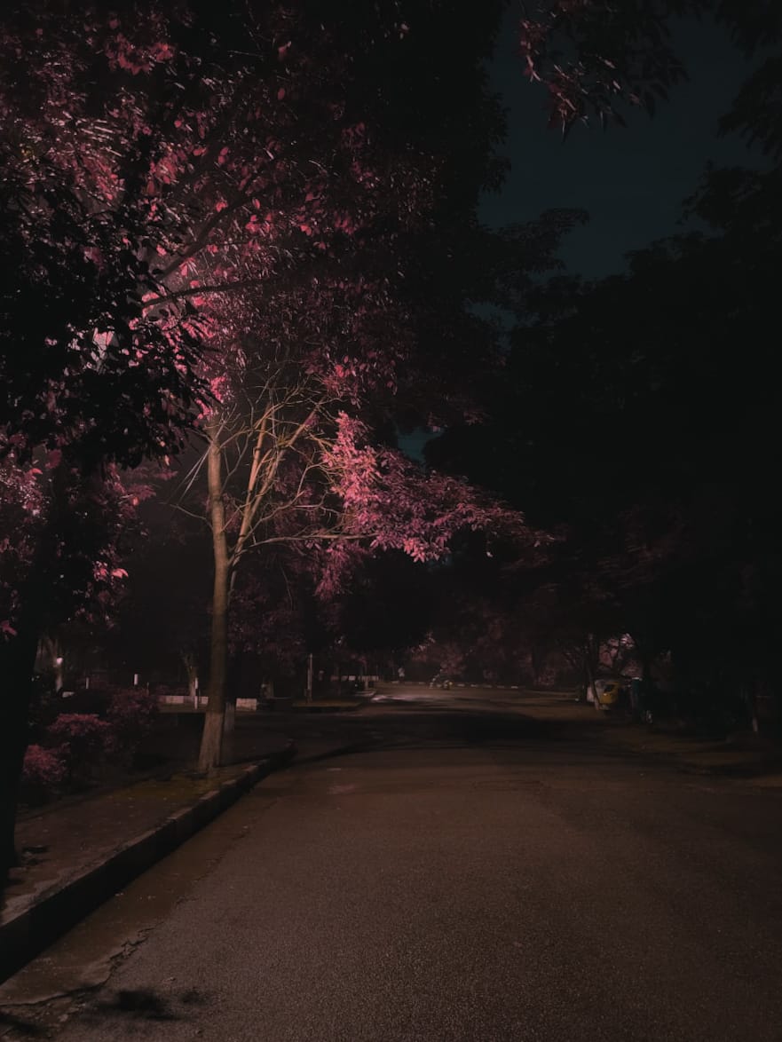
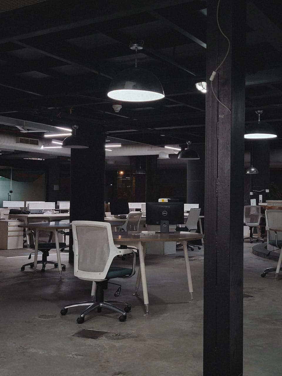 and the
cats and dogs
and the
cats and dogs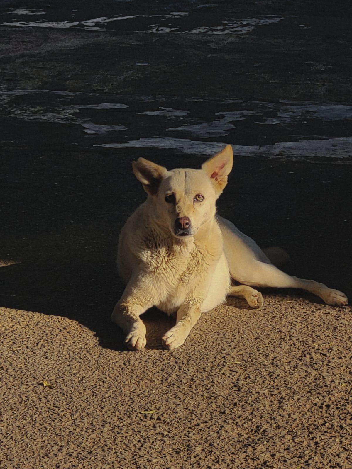
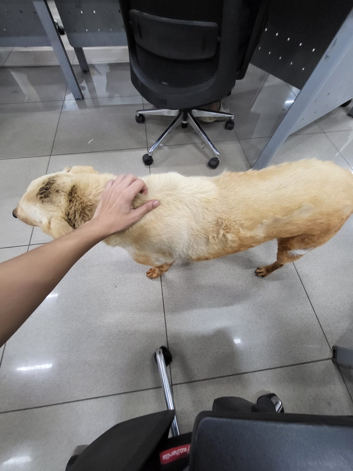
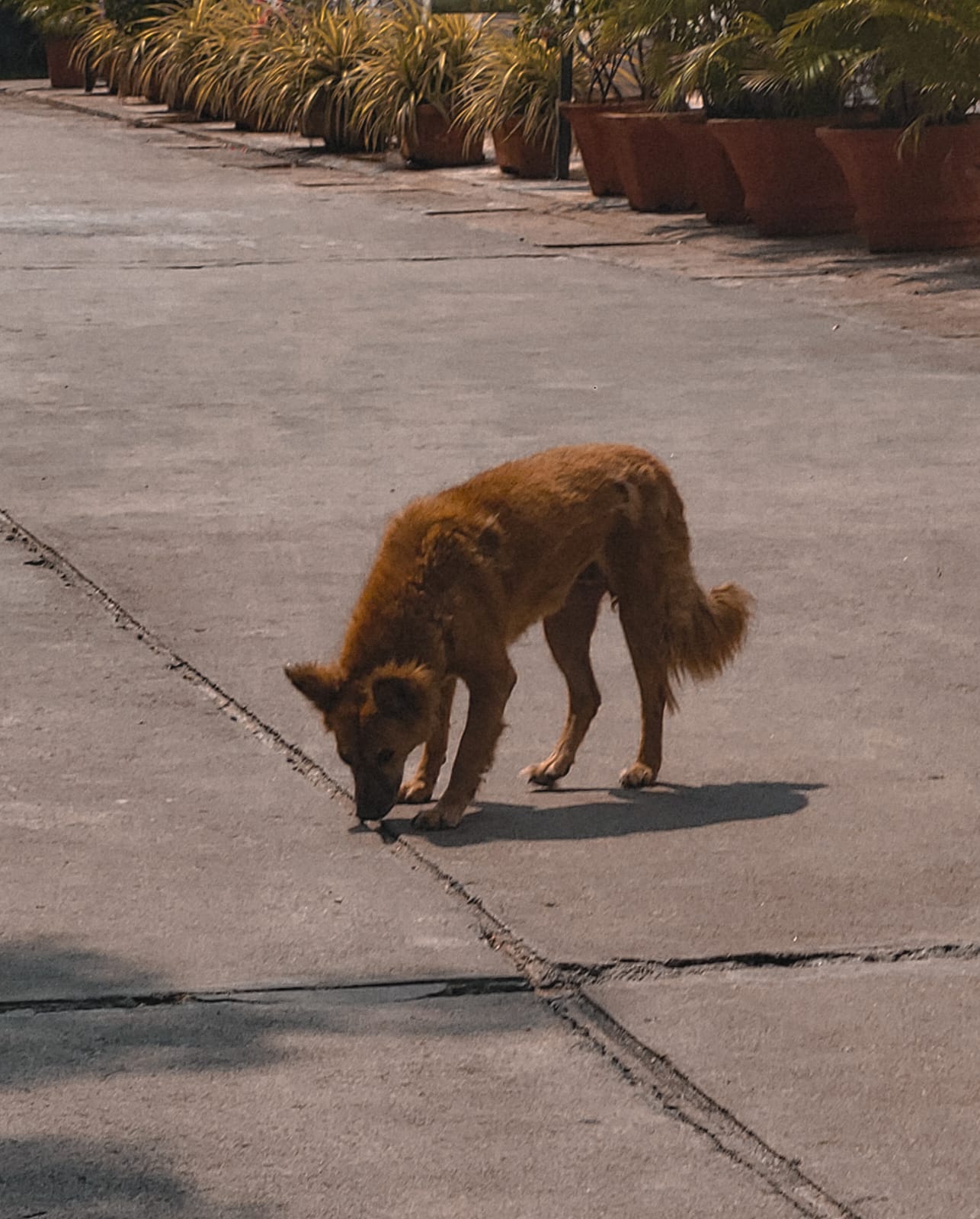
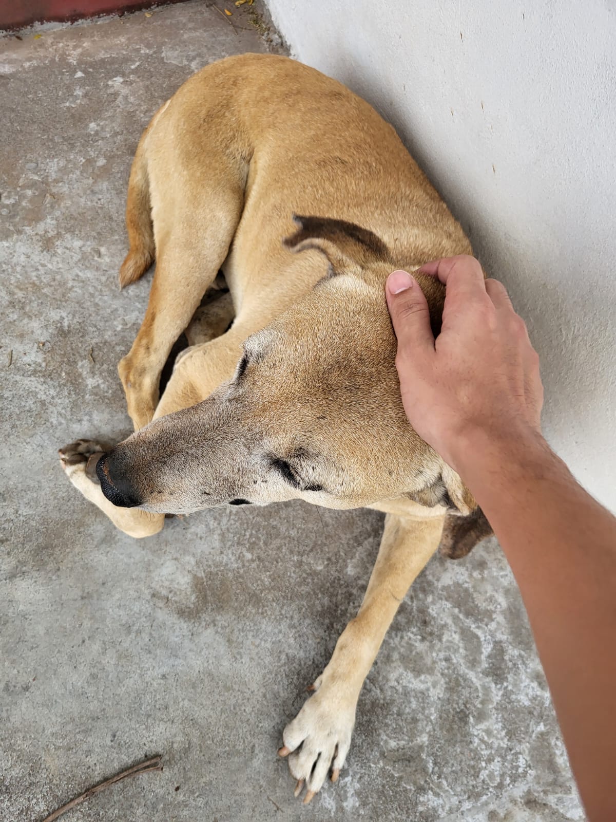
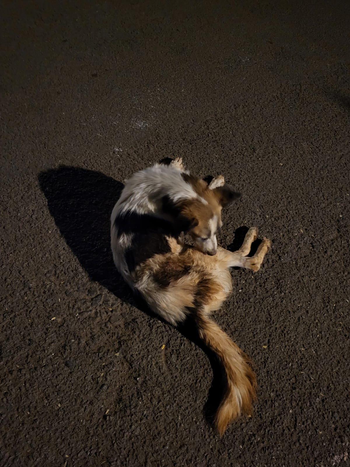
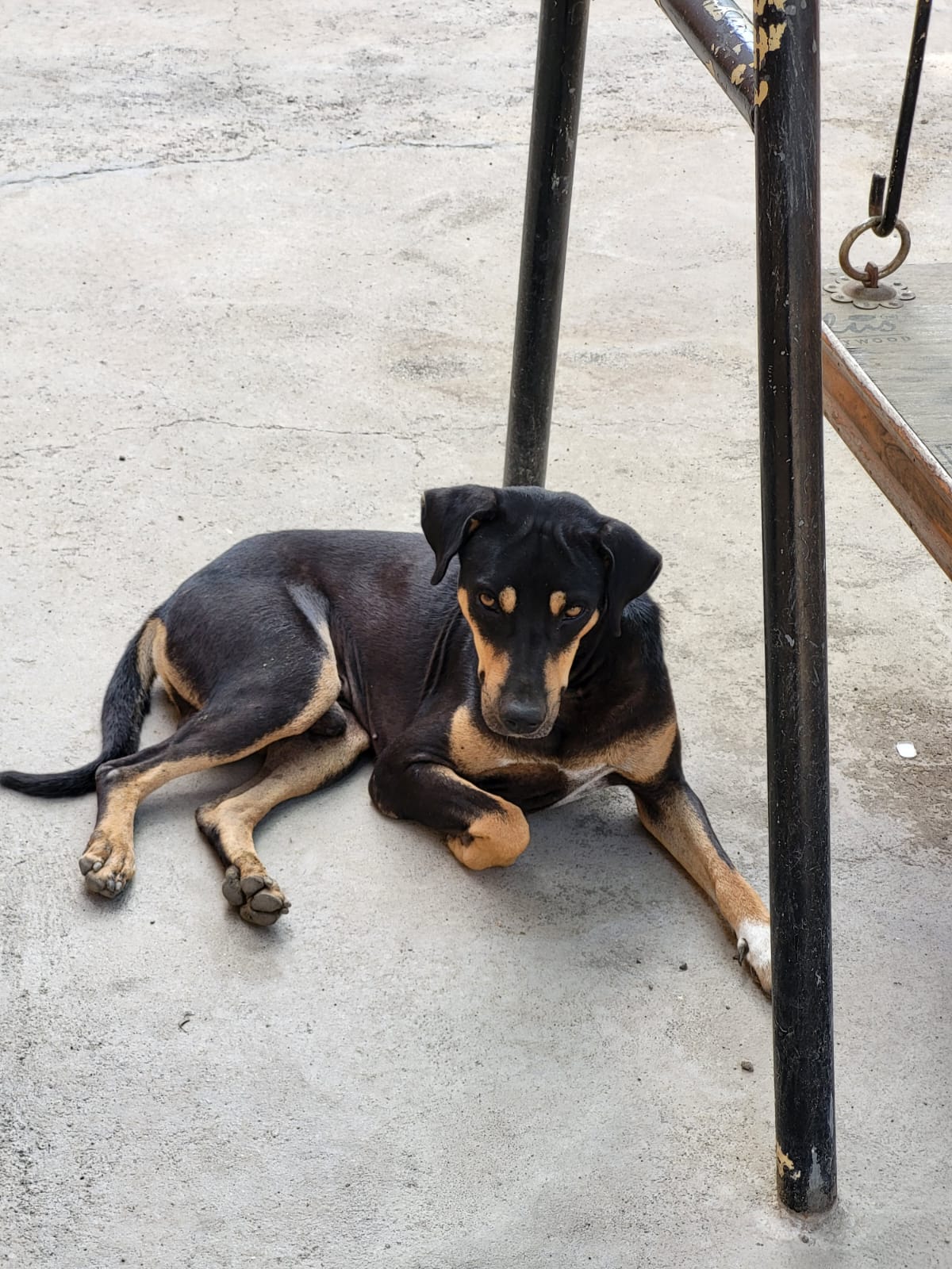
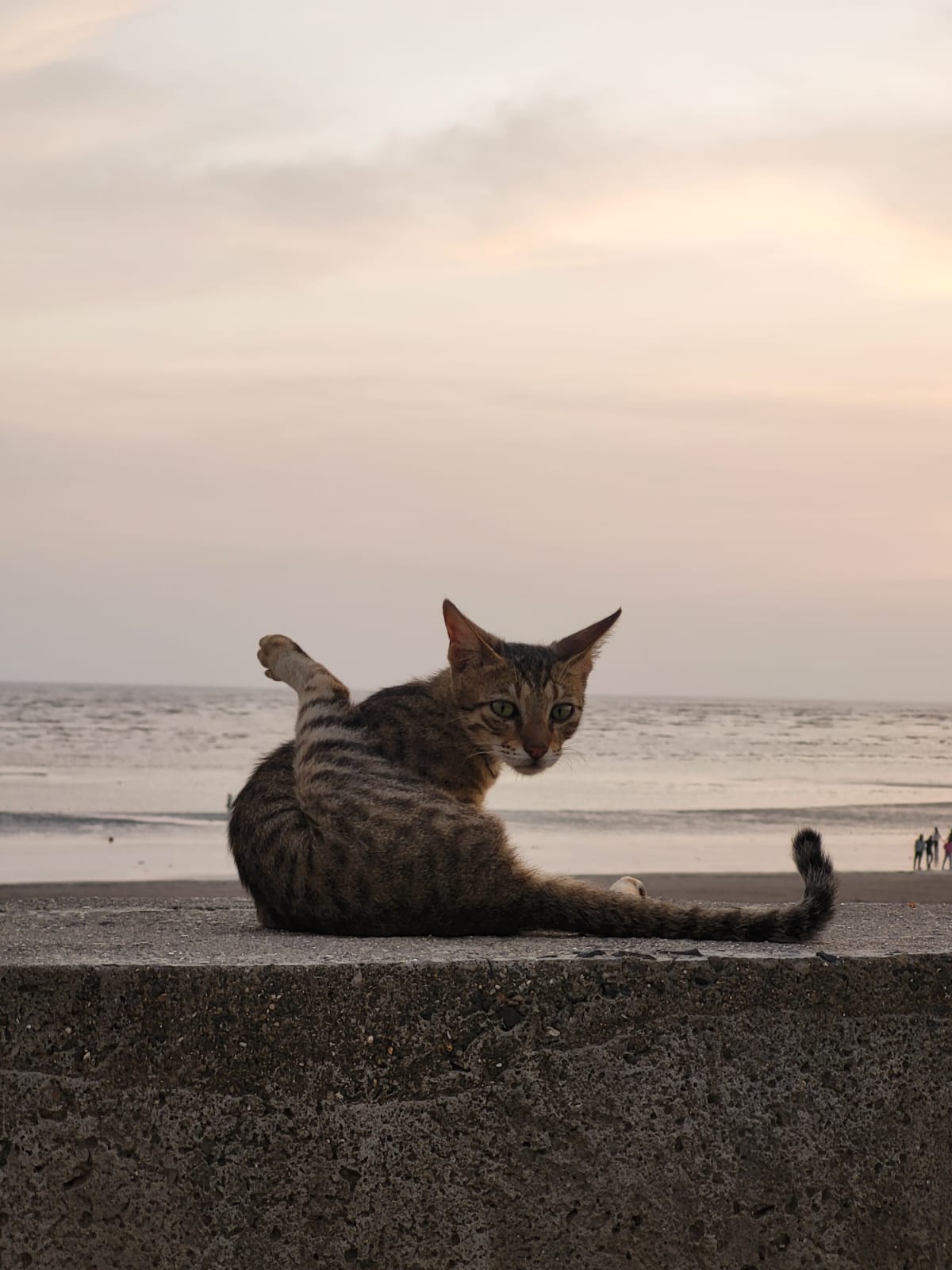
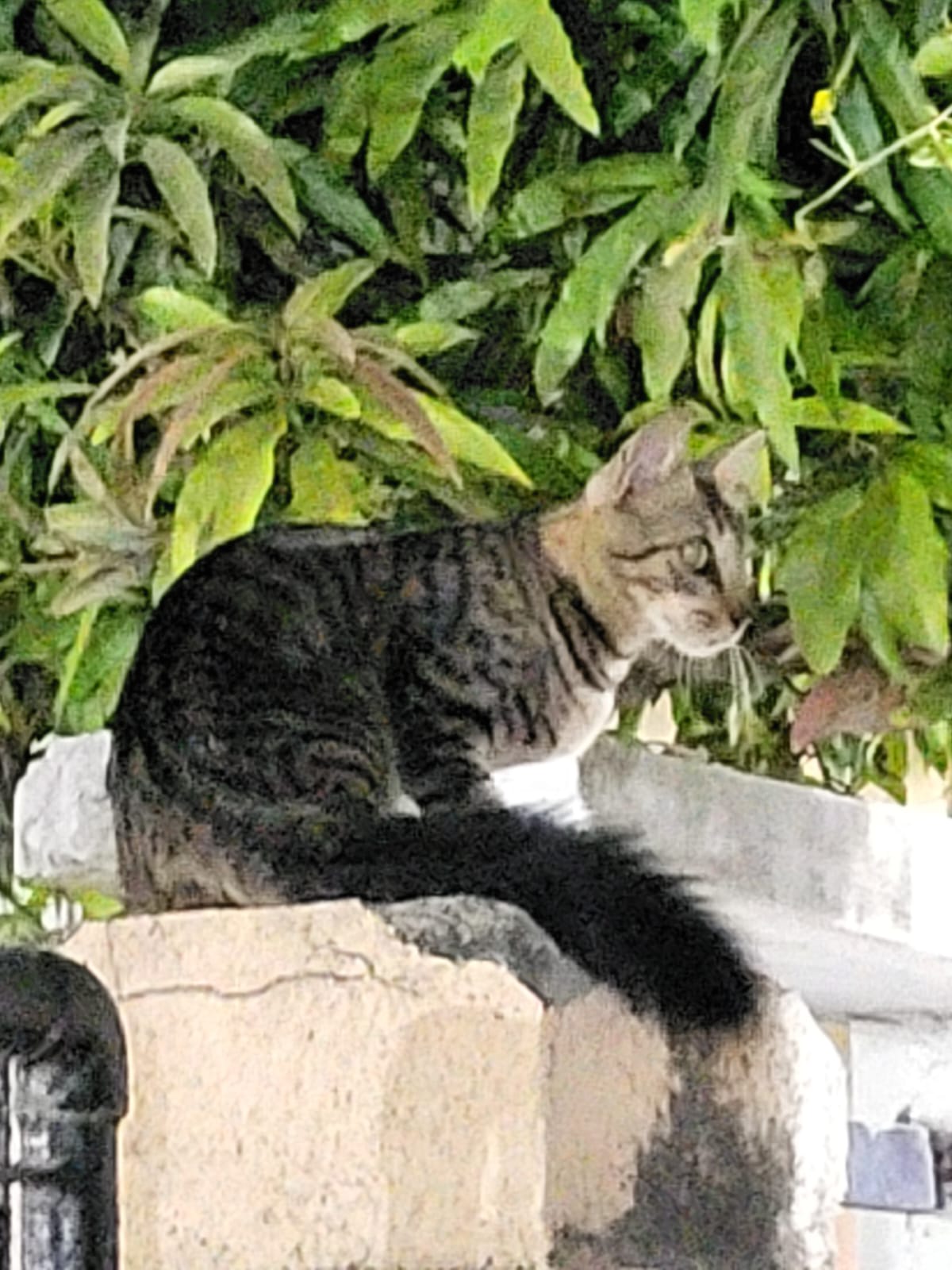 I run into. Sometimes I
draw
I run into. Sometimes I
draw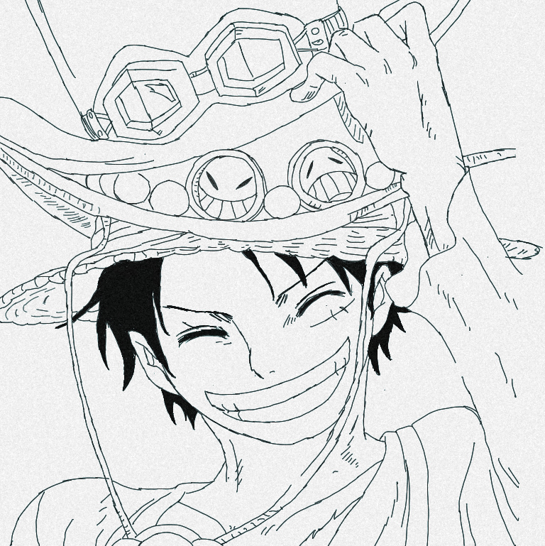
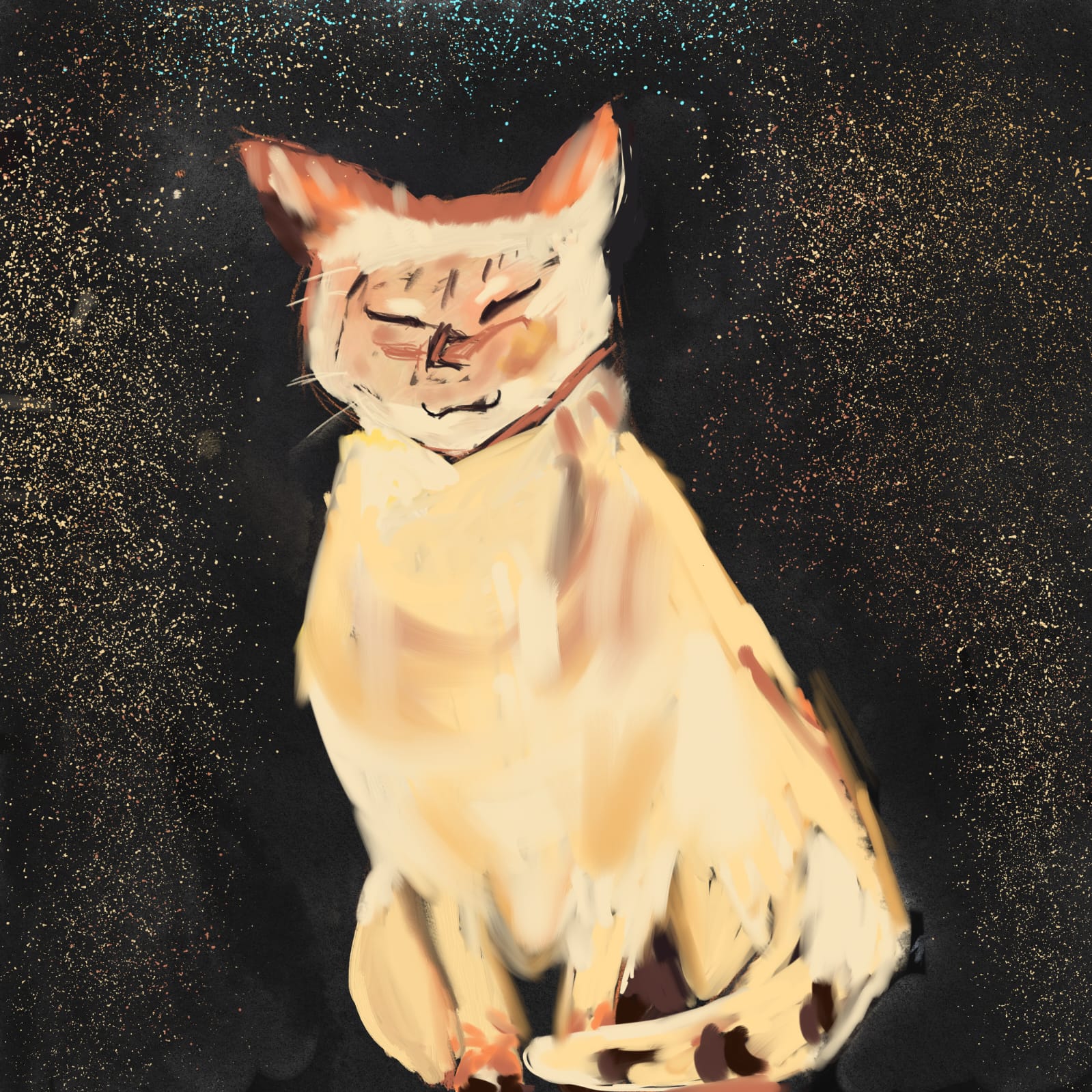 too. All of them are on
one page.
too. All of them are on
one page.
Reach me at bruvistrue93 at gmail dot com if you'd like to
talk about research, collaboration, open source, or life.
Email /
Scholar /
GitHub /
LinkedIn /
Twitter /
Substack /
Projects